NOW AVAILABLE: AN ALL-NEW LIME
20/01/2026: LIME v3.3.2 is now available! This is a maintenance release that improves upon the recent major release.
LIME: Visualise, Interpret, Present
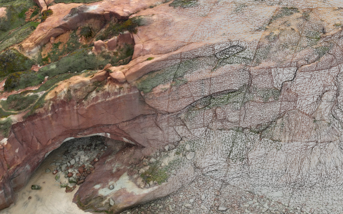
Get the most out of your 3D models, whether acquired using photogrammetry, lidar or other 3D measurement methods.
- Have you been out in the field and made a 3D model of your locality?
- And then wondered how to go further with measurement and visualisation?
- Needed to combine your 3D model with other field or subsurface data to create a unique presentation for your project's stakeholders?
- Or wished you could make a virtual field trip to engage your colleagues with a novel training approach?
Then LIME is for you!
Key Features
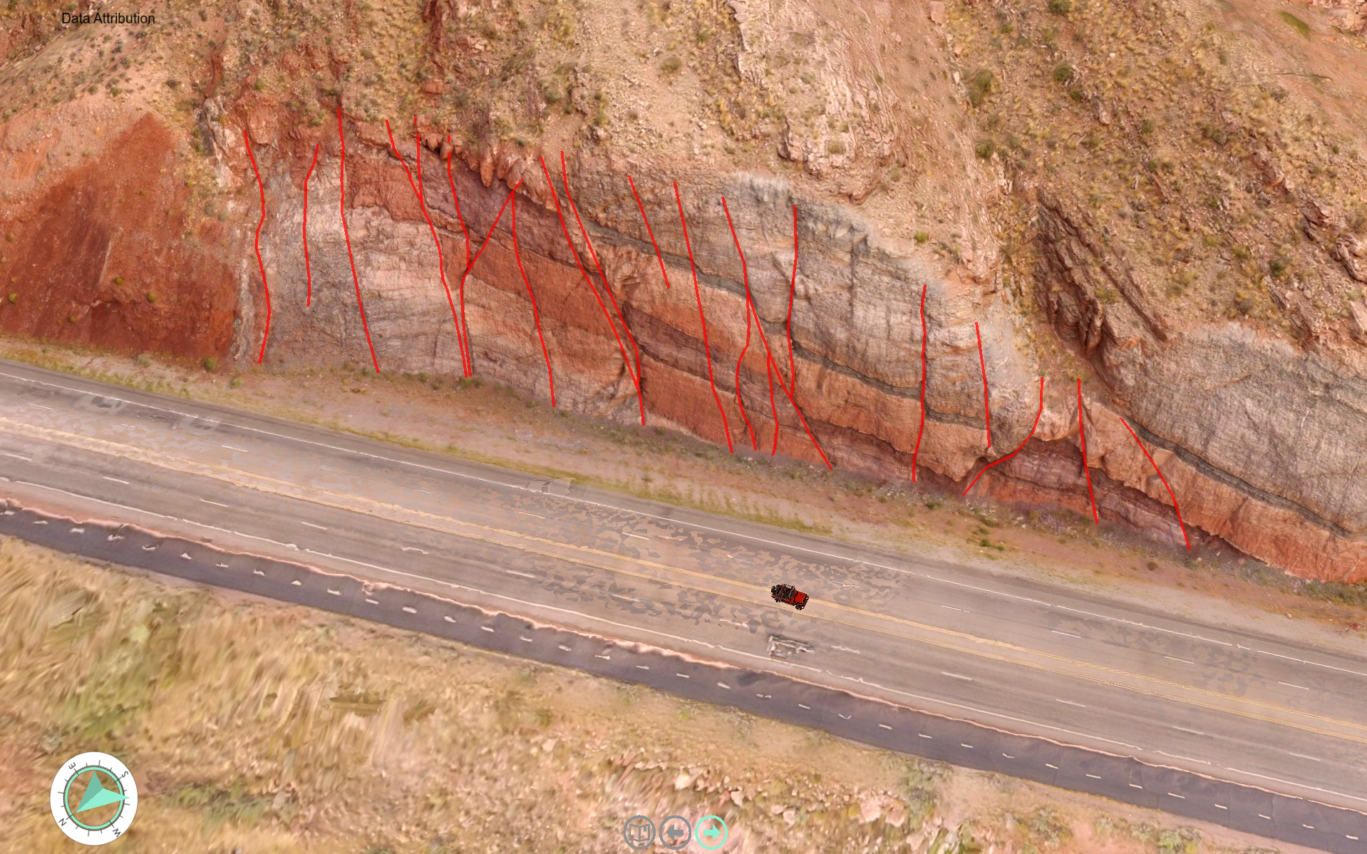
LIME ingests common 3D data formats from disk and cloud (handling massive datasets) and lets you measure and annotate, and integrate field, GIS and subsurface datasets. Build virtual field trips, digital twins and attractive 3D presentations to communicate the story of your unique project.
Free LIME Viewer
LIME has a built-in project and 3D model Viewer to make it easy to share your projects with collaborators.
- One installer: no separate Viewer version required.
- Open any 3D model from disk or cloud connections, including hundreds of models on V3Geo, and make measurements.
- Open any project file read-only and run 3D presentations.
- If your license expires, you can always open your projects in the same LIME version.
- Easily share your projects with others.
- IT Environment Variable to always deploy LIME as a Viewer - for classroom settings and virtual field trips. No interface distractions!

Professional support and training
By the team with more than 20 years of experience with virtual 3D geoscience.
Our expertise covers the interface between geoscience, geospatial technology and 3D modeling, visualisation, computer vision, software engineering and more.
Extend your team's capacity with our expert support.


