Reach new insights through visual exploration
Source: Dahlin, A. (2022) Svalbox-DOM_2021-0025_Landnørdingsvika. doi:10.5281/zenodo.6321229
Dynamic 3D model visualisation
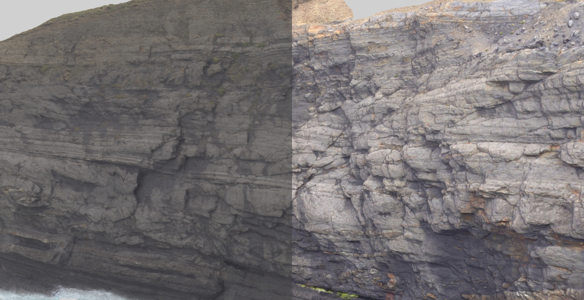
The core of any virtual geoscience project is high quality 3D models: we want to show them off in all their glory! LIME includes powerful real-time visualisation for exploring your datasets and their geometric attributes.
Simple yet flexible - create high impact presentation outputs by adjusting the visual settings and save them as reproducible and shareable Views. These can be exported at high resolution or form the basis of virtual field trips and digital twins presentable as LIME 3D Stories.
Surface Properties
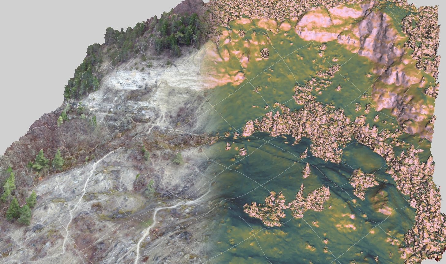
Visualise the surface properties of your model in multiple ways, and combine different properties into sophisticated and communicative views. LIME lets you explore surface geometry and orientation (dip/slope, dip direction/aspect and strike) using colour ramps and filters.
Layers and blending
Thanks for LIME's layer-based display system, it is simple to stack different attribute sets, image textures, grids and contours. Use sliders to change layer opacity and swipe to blend layers horizontally or vertically.
Contours and grids
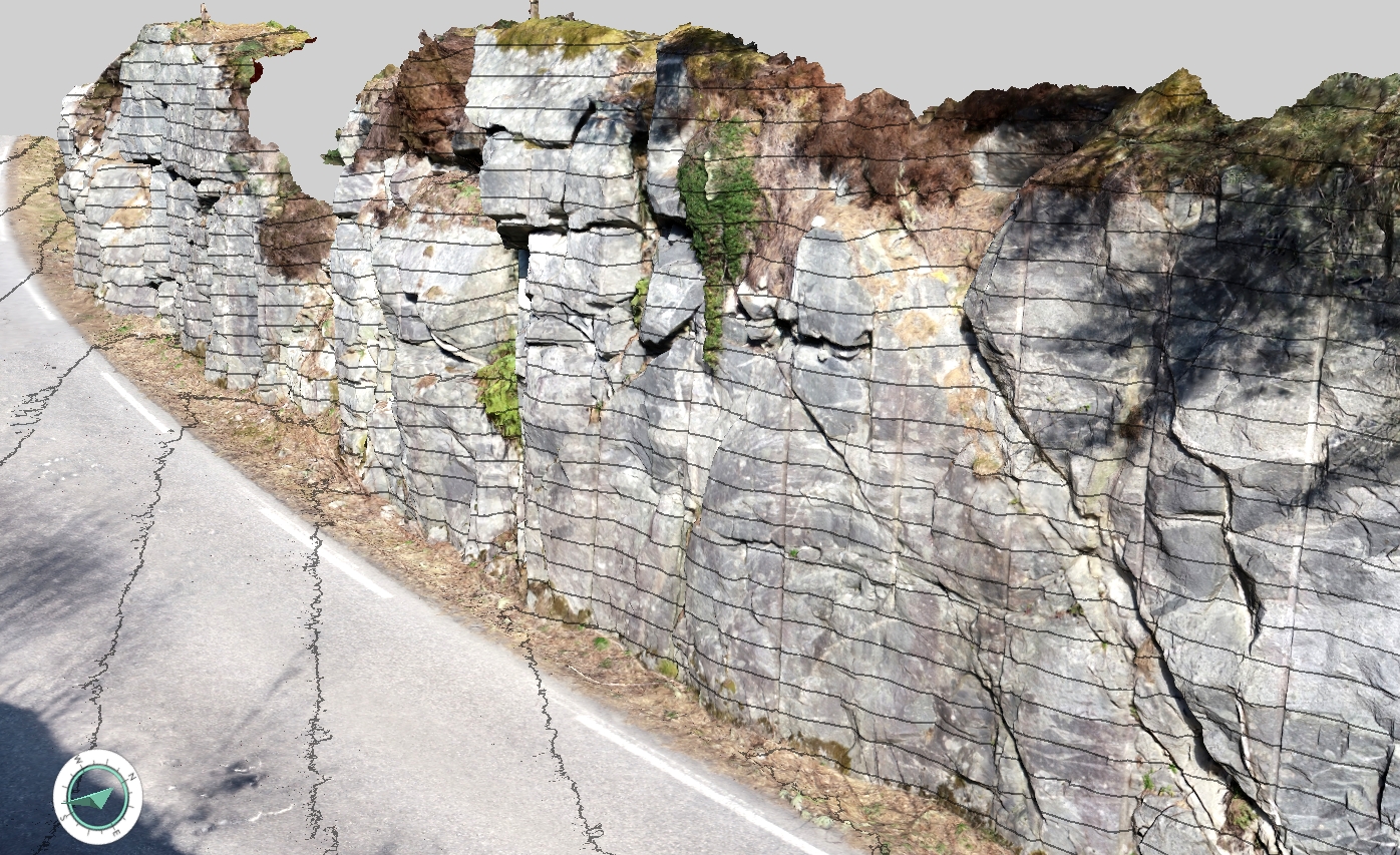
Overlay contours and grids dynamically, no overhead or complex creation processes to contend with!
Overlay a datum line to track a single reference height over your model - great for correlation or viewing the effect of structural/sedimentary dips.


