Massive 3D models are just a click away in LIME
Regional to mm-scale model visualisation
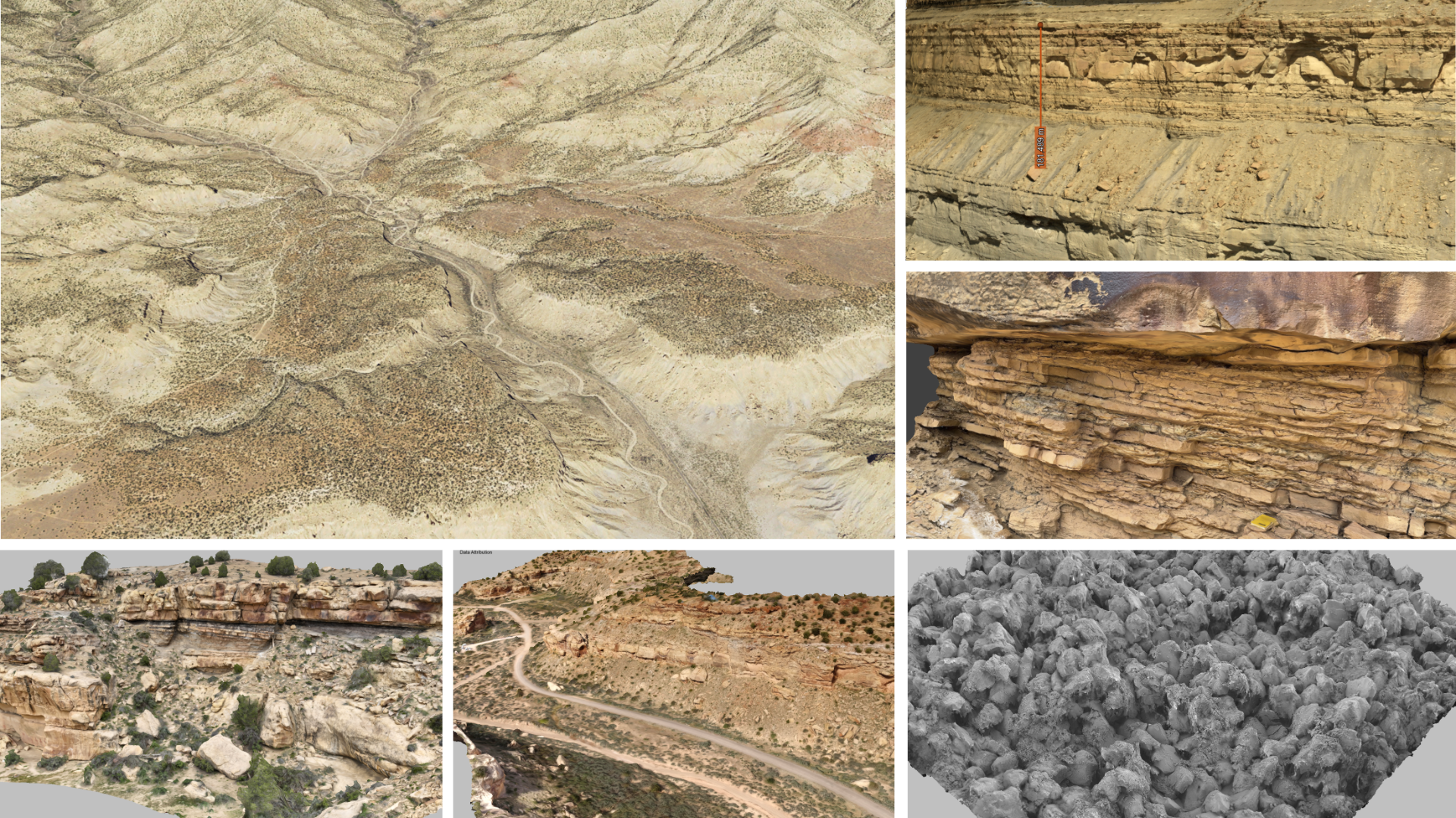
Being able to work with large areas or highly detailed 3D models is a cornerstone of making virtual geoscience accessible. Today's drones, digital cameras, lidar scanners and GIS data provide richer and higher fidelity data than ever. This opens new opportunities for application analysis and visualisation.
If only we could open those high resolution models... No problem! LIME has been developed specifically for this purpose

In the past, working with lidar or photogrammetry models meant splitting the 3D data into many sections, and working with a limited subset so that computer hardware and software did not get overloaded. Thanks to the use of state-of-the-art tiled models and cloud streaming, these limitations are not an issue for LIME.

Tiled models
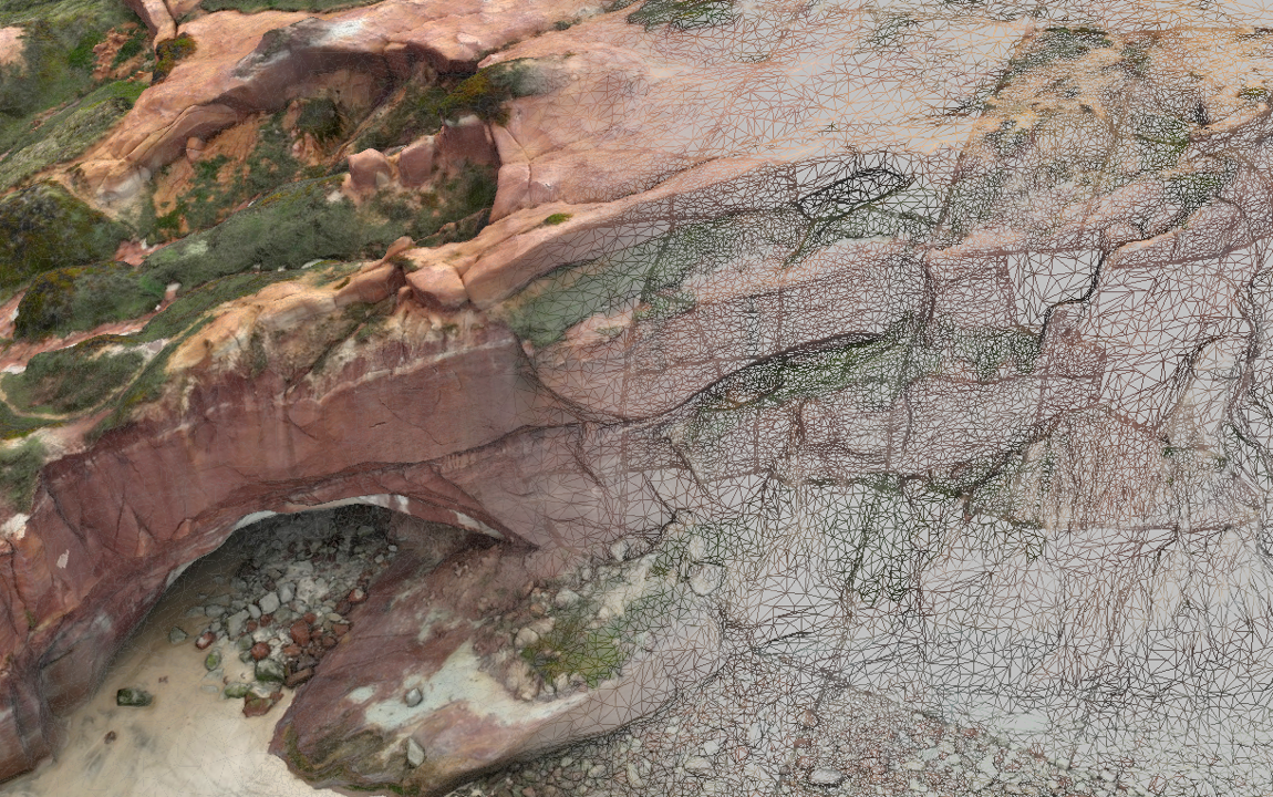
Tiled models comprise a hierarchy of files, where the original high resolution 3D model is progressively simplified into several levels of detail (LOD), and each LOD is split into increasingly fine-grained tiles. The result might be thousands of files on disk, but it is only necessary to load the top level tile into LIME and the viewer takes care of optimising the resolution of the 3D model as you navigate.
Seamlessly move from overviews of a section to detailed close-ups without compromising on resolution or performance. Hop between different localities, models, core sections and more within the same LIME session, making comparisons of similar features in different geographic areas simple.
Cloud Streaming
Today's Internet means that we have the potential to access data over the cloud as never before. Though tiled 3D models are extremely efficient to load and visualise, they have conventionally been challenging to manage and share with colleagues, project sponsors or in classrooms, due to the very large datasets and many thousands of files. To facilitate sharing, LIME connects to cloud services to stream high resolution 3D models:
- V3Geo
- Sketchfab
- SAFARI (sponsor access)


V3Geo Connection
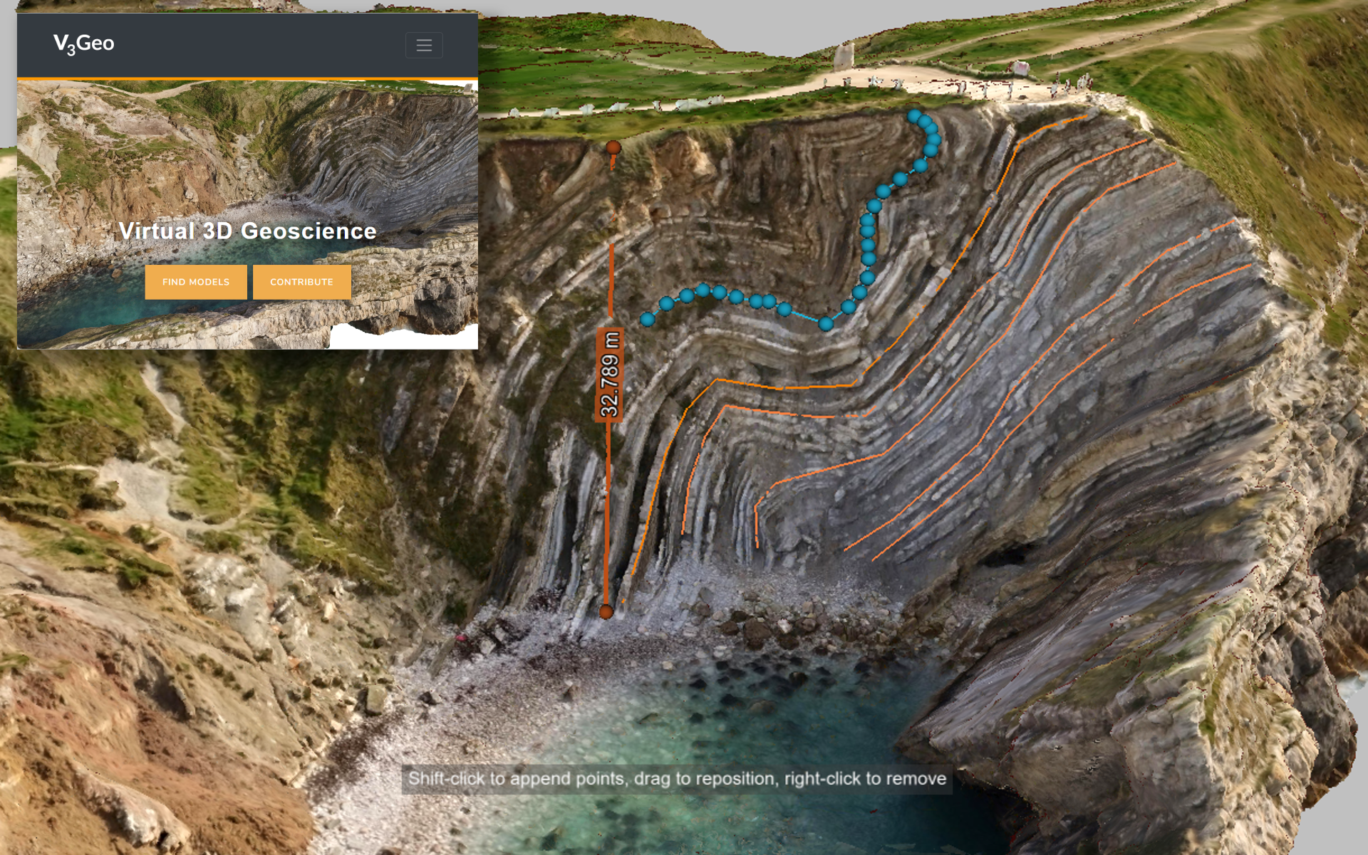
In LIME, hundreds of V3Geo public model are just a click away. Load a model from the cloud in a few seconds to start visualisation and interpretation. If you have a V3Geo account, you can log in to see your own model contributions (public and private) and those shared with you by another V3Geo user.
