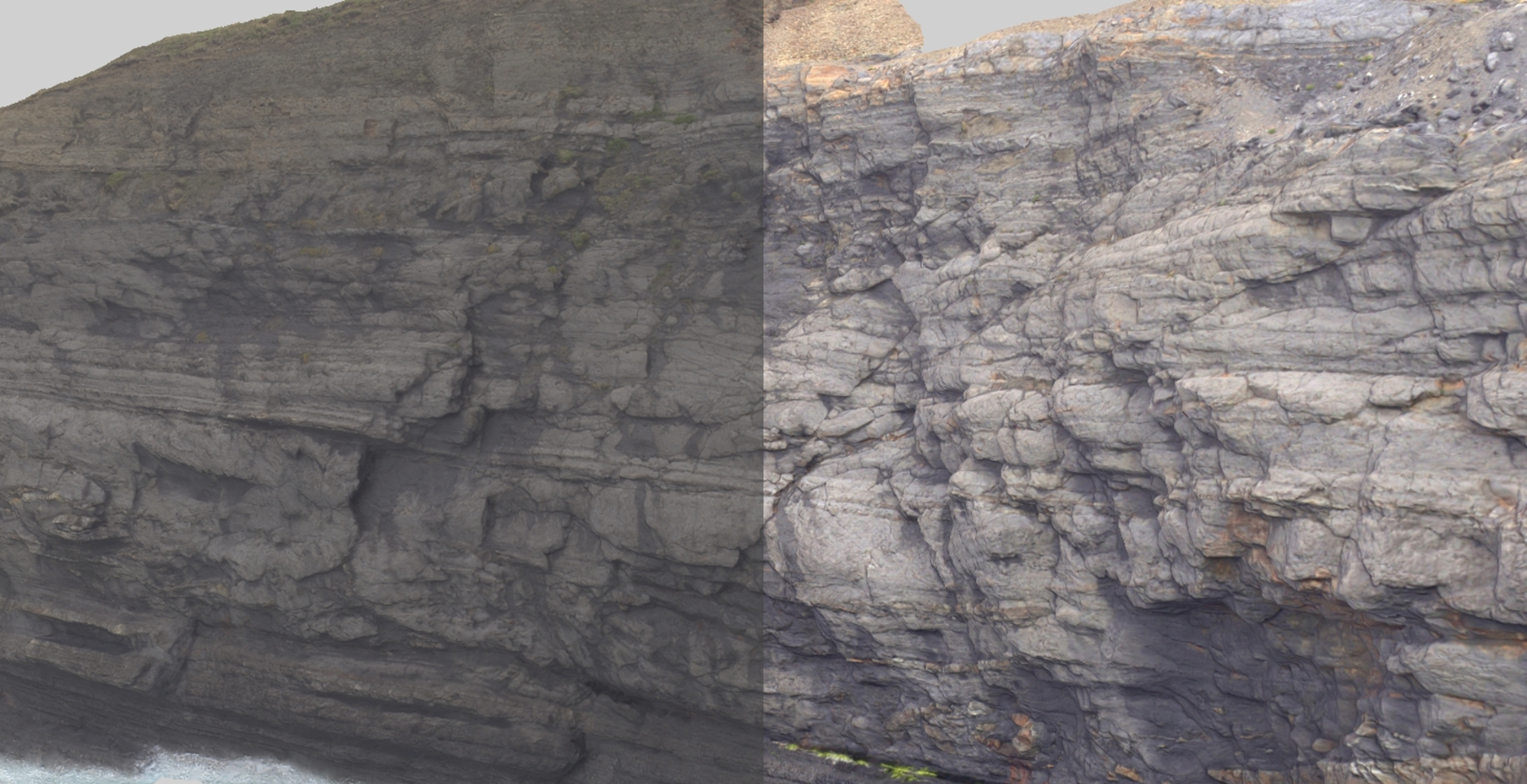
Digital Elevation Models (DEMs)
Source: Dahlin, A. (2022) Svalbox-DOM_2021-0025_Landnørdingsvika. doi:10.5281/zenodo.6321229
DEMs
LIME loads digital elevation or other surface grid data in some standard formats:
- Georeferenced image files (*.tif, *.png)
- Erdas Imagine (*.img)
- ESRI ASCII/binary grids (*.asc, *.adf)
- USGS DEM (*.dem)
- ZMap+ grid (*.asc, *.dat, *.zgf)
DEMs represent real-world surface topography as raster grids of height values. They are commonly found in GIS projects and are made available by national mapping agencies around the world. With today's satellite sensors, there is complete coverage of the earth's surface, though available resolution may depend on country, data source and access restrictions.
In LIME, DEMs are a good way to visualise the surroundings of your virtual 3D models – as well as being a source of important information in their own right!
Loading a DEM (or multiple DEM files) is straightforward. We immediately get a low-resolution preview of the terrain file to allow us to crop the DEM to our area of interest and select a suitable sampling resolution to load.
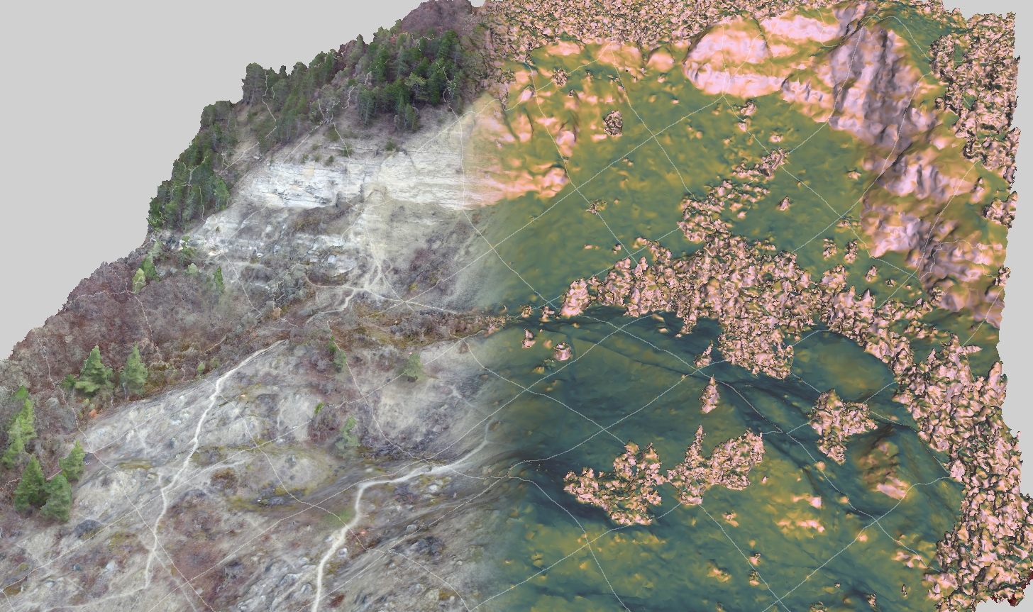
Once the DEM has been loaded into LIME it shows up just like any other model, allowing us to take advantage of the in-built display settings to create stunning terrain visualisations. In LIME v2 there are a few new terrain colour ramps too. Here's a small gallery for inspiration.
blabla
Visualise the surface properties of


